The forecast from the National Weather Service calls for something far bigger. A strong nor'easter will bring "significant snowfall" to interior Connecticut and a blizzard along the coast from late Monday into late Tuesday.
Early forecasts say the storm could dump 12 to 18 inches of snow (or more!) on the area.
For coastal Fairfield County, the National Weather Service has issued a Blizzard Watch for that time period.
For Northern Fairfield County, the National Weather Service has issued a Winter Storm Watch for the same time period.
The warnings call for 12 to 18 inches of snow, with northeast winds of 10 to 20 mph with gusts of 30 to 40 mph. Temps will be in the 20s.
It will cause hazardous travel conditions and bring the potential for power outages. Visibility will be a half-mile to a quarter-mile or less at times due to blowing and drifting snow. Under the Blizzard Watch, whiteout conditions are possible with stronger winds.
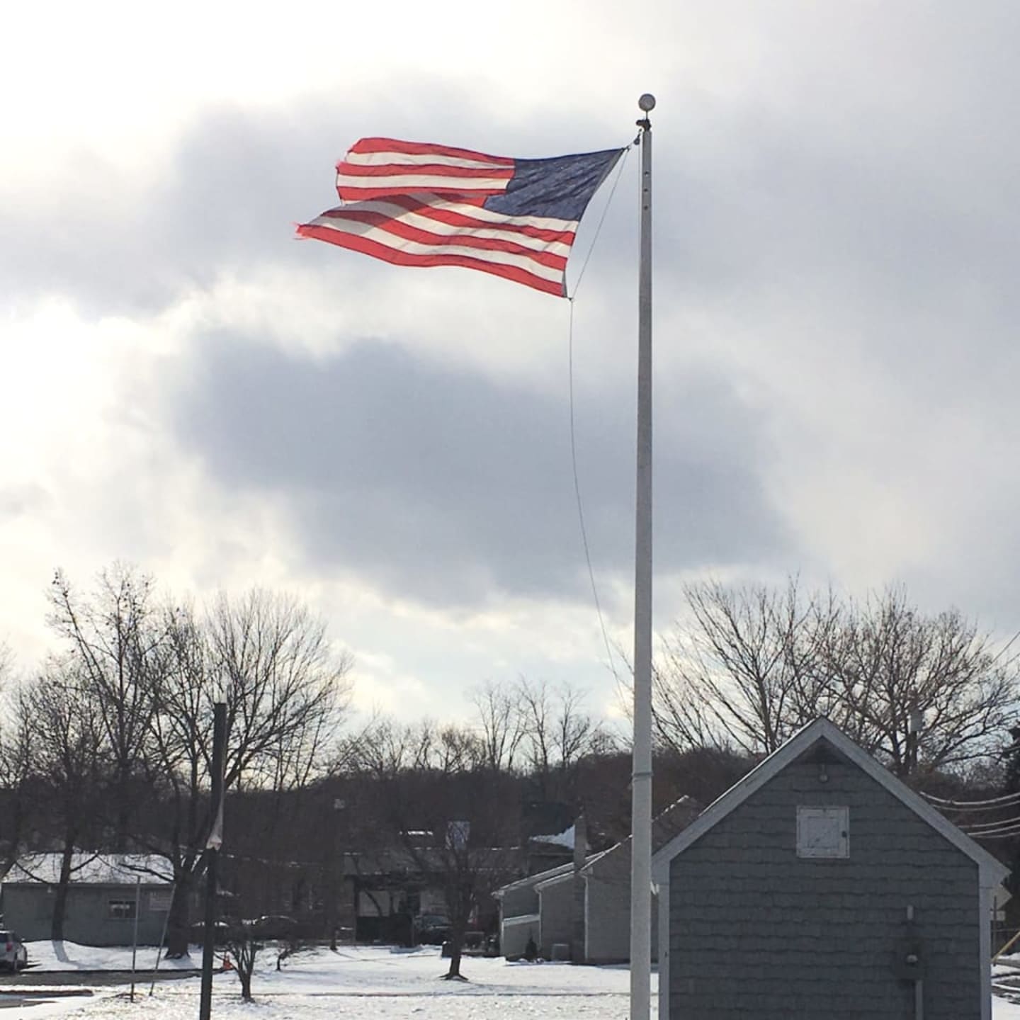
But first, residents are forced to bundle up this weekend as temperatures dropped into the low 20s on Saturday, with strong wind gusts making it feel much colder.
A few gusts could hit up to 45 mph, or even 50 mph, blowing around the snow from Friday's storm and plunging wind chills to near zero.
Sunday will be just as cold, but with less wind.
Gov. Dannel Malloy has enacted the state's severe cold weather protocol through 8 a.m. Monday. Shelters and warming centers will be open across the state. For information or locations, call 211 or click here.
Monday will be sunny with a high near 30. But snow is likely to begin after midnight and could be heavy at times with a low in the 20s. The chance of precipitation is 60 percent, with 1 to 3 inches possible overnight, the National Weather Service.
On Tuesday, the snow will continue and could be heavy at times. The forecast said it will be blustery with a 90 percent chance of snow. Early indications show the storm could bring up to a foot or 18 inches of snow, depending on the track of the storm.
The snow will continue Tuesday night, mainly before midnight, and could be heavy at times. The chance of precipitation is 70 percent.
A Hazardous Weather Outlook says, "The potential is increasing for a strong coastal storm producing a significant snowfall and strong winds Monday night into Tuesday night."
It may be the biggest storm of the winter. Stay tuned.
Click here to follow Daily Voice Greenwich and receive free news updates.