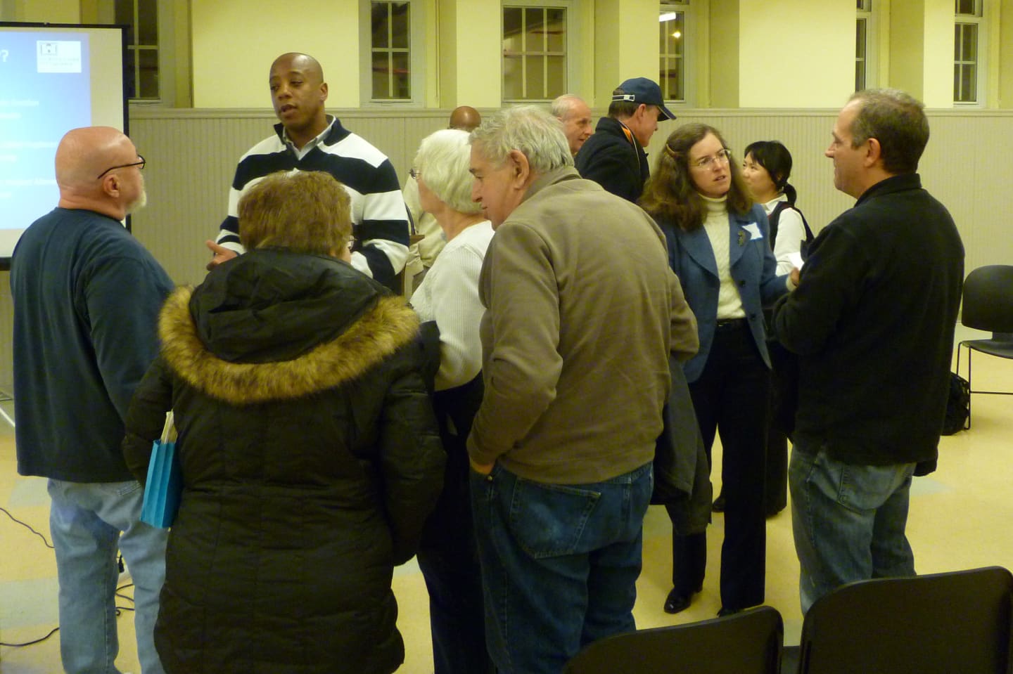

Nearly 100 Greenwich residents filled the basement of the Western Greenwich Civic Center on Wednesday evening to hear representatives from the town and the Army Corps of Engineers explain the possible ways of keeping floodwaters at bay.
The public heard the results of a nearly three-month Army Corps study on the feasibility of building levees or flood walls.
"We wanted to get out and educate people about the Army Corps process and the different alternatives that are available for flood protection," Greenwich Commissioner of Public Works Amy Siebert said. "We're going to be asking people to give us information on what they want to see in their neighborhood."
The town plans to post a questionnaire on its website within the next week for residents to voice their preference for Byram River flood-prevention projects.
The $3 million study area includes 450 structures on both sides of the Byram River from Bailiwick Road to Route 1, according to Town Engineer Jim Michel. The width of the study area is based on a storm that would cause a "100-year flooding event."
"In order for this study to be as successful as it can be, we need the feedback from those properties that are in the study area," Michel said.
Various construction plans for flood prevention have been attempted since 1972. But officials at the meeting said that with the combination of Superstorm Sandy, Hurricane Irene and the April 2007 flooding may change the minds of residents and politicians.
Siebert cautioned the crowd that even if flood-preventing elements are put in place, floodwaters cannot be completely stopped.
"We'll still have to ask you to leave. That won't change," she said. "We're just trying to make sure you have something to go home to."
Click here to follow Daily Voice Greenwich and receive free news updates.